

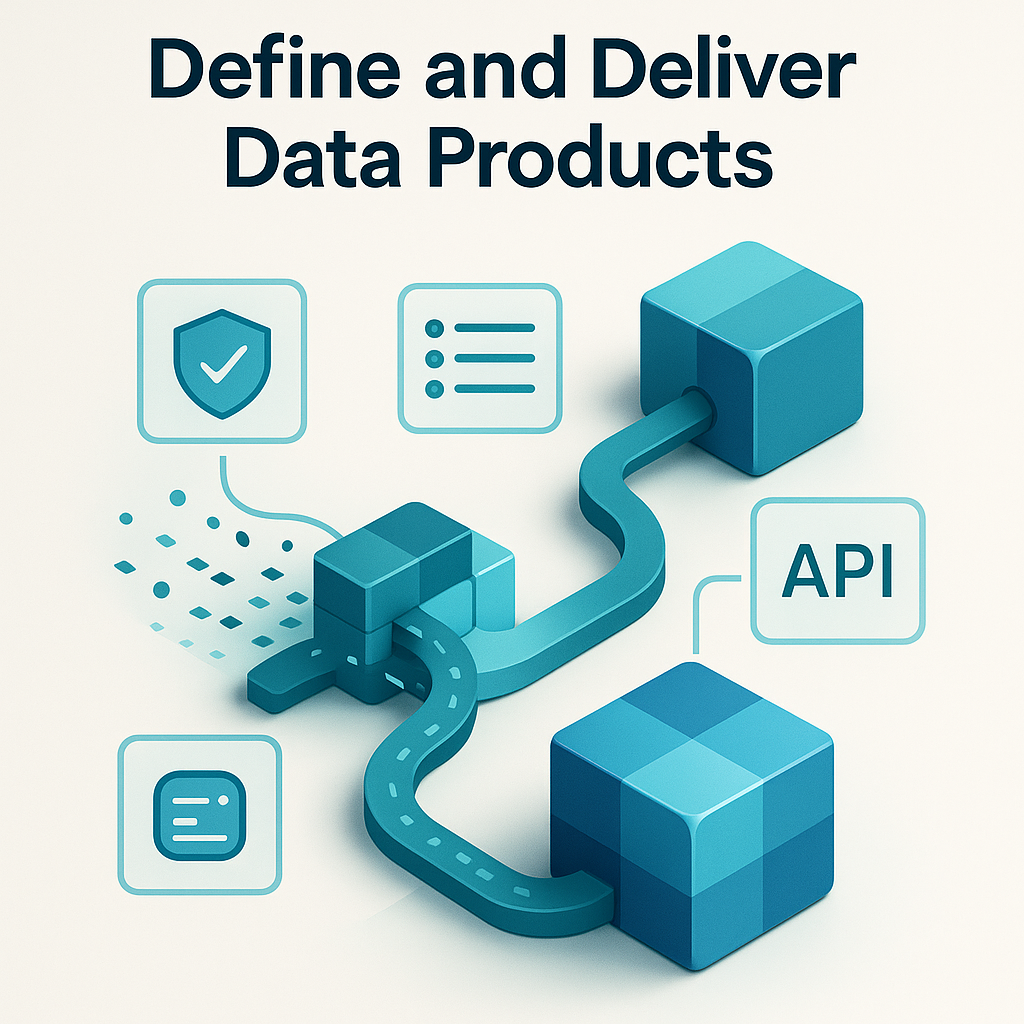
Checklist: Defining and Delivering Data Products for GEO AI
- Engage GEO AI stakeholders to identify high-impact data product requirements.
- Define clear ownership, SLAs, and metadata standards for each data product.
- Ensure data products are discoverable via a catalog with geospatial tags and usage examples.
- Implement automated quality checks for spatial accuracy and completeness.
- Enforce security and privacy controls, especially for sensitive location data.
- Document data products with GEO AI-specific context, such as coordinate systems and use cases.
- Iterate based on user feedback and evolving business needs.
Define and Deliver Data Products: Turning Data into Value for GEO AI
Introduction
Data Mesh empowers organizations to manage data by decentralizing ownership to domain teams, making data more accessible, trusted, and actionable. For GEO AI applications, defining and delivering data products is a critical step in unlocking the value of spatial and location-based data. Well-designed data products enable teams to access the right information at the right time, driving innovation across logistics, urban planning, and environmental monitoring. Without robust data products, even the most advanced GEO AI strategies can fail to deliver results.
This guide provides a structured approach to creating data products tailored for GEO AI, ensuring they meet the unique demands of spatial data while adhering to Data Mesh principles.
What Does It Mean to Define and Deliver Data Products for GEO AI?
A data product is a curated dataset or service designed for reuse across an organization. In GEO AI, examples include geocoded APIs, satellite imagery repositories, or real-time traffic flow dashboards. Each data product is owned by a domain team that ensures its quality, documentation, and usability. Treating geospatial data as a product involves understanding user needs, defining clear standards, and making the data easy to discover and integrate into applications.
For instance, a customer location API might combine address data with geocoding services, while a supply chain dashboard could visualize real-time shipment tracking. The key is to package data in a way that aligns with how GEO AI teams consume it.
Key Activities and Best Practices
1. Identify High-Impact Data Products
Start by engaging with GEO AI teams to understand their pain points and requirements. Prioritize data products that address critical use cases, such as route optimization, asset tracking, or environmental modeling. Focus on delivering tangible value early to build momentum.
2. Set Clear Standards for GEO AI Data
Every data product should adhere to standardized SLAs for freshness, accuracy, and availability. For geospatial data, this includes:
- Metadata describing coordinate systems, projections, and data sources.
- APIs that support common GEO AI formats, such as GeoJSON or KML.
- Documentation with examples of how to integrate the data into mapping or analytics tools.
Clear standards ensure consistency and reduce friction for users.
3. Make Data Discoverable and Reusable
Register data products in a central catalog with geospatial tags, keywords, and usage guidelines. For example, a dataset of urban heat islands should include metadata on spatial resolution, time periods, and applicable use cases. This makes it easier for teams to find and repurpose the data for different projects.
4. Build, Test, and Iterate
Develop data products incrementally, starting with a minimum viable product (MVP). Test with real users, gather feedback, and refine the product over time. For GEO AI, this might involve validating spatial accuracy or optimizing API performance for large-scale queries.
5. Automate Quality and Access Controls
Use tools to automate data validation, such as checking for geocoding errors or missing attributes. Implement role-based access controls to protect sensitive location data while enabling collaboration.
Challenges and Solutions in GEO AI
Unclear Requirements
GEO AI teams often have specialized needs that are not immediately obvious. Involve them early in the design process to clarify requirements and avoid misalignment.
Poor Data Quality
Geospatial data can suffer from inaccuracies, such as outdated coordinates or inconsistent projections. Implement automated quality checks and provide transparency about data lineage and update frequencies.
Security and Privacy Risks
Location data is often sensitive. Enforce strict access policies and anonymize data where necessary. Use automated tools to monitor compliance with privacy regulations, such as GDPR or CCPA.
Lack of Standards
Without standardized formats or naming conventions, data products can become difficult to use. Establish organization-wide guidelines for geospatial data, including preferred file formats, coordinate systems, and metadata schemas.
Data Governance for GEO AI
Governance ensures that data products are managed responsibly and aligned with business objectives. Key practices include:
- Assigning clear ownership for each data product.
- Defining access policies based on data sensitivity and user roles.
- Regularly auditing data quality and documentation.
- Balancing domain autonomy with centralized oversight to maintain consistency.
In GEO AI, governance also involves validating spatial data integrity and ensuring compliance with industry standards, such as ISO 19115 for metadata.
Business and Cultural Impact
Well-defined data products foster a culture of collaboration and innovation. When GEO AI teams can easily access and trust the data they need, they can focus on solving complex problems, such as optimizing delivery routes or predicting climate impacts. Over time, this leads to better decision-making and a stronger data-driven culture.
Practical Tips for GEO AI Teams
- Start with a few high-value data products, such as a master address repository or a real-time asset tracker.
- Use automation to maintain data quality and reduce manual effort.
- Document data products with GEO AI-specific details, such as supported coordinate systems and example queries.
- Regularly review and update data products based on user feedback and changing requirements.
Conclusion
Defining and delivering data products is a cornerstone of a successful Data Mesh strategy for GEO AI. By focusing on user needs, setting clear standards, and enforcing governance, organizations can transform raw spatial data into actionable insights. This not only supports immediate business goals but also lays the foundation for long-term innovation in GEO AI applications.
Frequently Asked Questions
What is a data product in the context of Data Mesh and GEO AI?
A data product is a packaged set of data designed for reuse by different teams. In GEO AI, this could include spatial datasets, geocoded APIs, or real-time location analytics. Each data product is owned by a domain team, which is responsible for its quality, documentation, and accessibility.
How do you ensure data products are discoverable and reusable in GEO AI applications?
Data products should be registered in a data catalog with clear metadata, standardized naming conventions, and APIs for easy access. For GEO AI, this includes geospatial tags, coordinate systems, and usage examples to facilitate reuse across projects.
What are the key challenges in delivering data products for GEO AI, and how can they be addressed?
Common challenges include unclear user requirements, poor data quality, and security risks. Solutions involve early user engagement, automated quality checks, and strict access controls. For GEO AI, ensuring spatial accuracy and compliance with geospatial standards is critical.
Why is data governance important for data products in GEO AI?
Data governance ensures that data products are trustworthy, compliant, and aligned with business goals. In GEO AI, governance includes validating the integrity of spatial data, managing sensitive location data, and enforcing access policies to protect privacy.
How can automation improve the delivery of data products in a Data Mesh framework?
Automation streamlines data quality checks, updates, and access management. For GEO AI, tools can automate geocoding validation, metadata enrichment, and API deployments, reducing manual errors and accelerating time-to-value.
What role do SLAs play in defining data products for GEO AI?
Service Level Agreements (SLAs) define expectations for data freshness, accuracy, and availability. In GEO AI, SLAs may specify update frequencies for spatial datasets or response times for geocoding APIs, ensuring reliability for downstream applications.